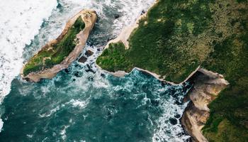


The biologist walks along beaches with a GPS which collects points marking her location every few seconds. At the same time, the biologist collects sediment samples and other information for her research. She sends the GPS data and the results of her sample tests to me so that I can turn the data it into colour-coded lines representing suitable beach habitat segments. I send these beach segments to the biologist as KML files which she can view on Google Earth to check for completeness. Once the beach segments get the stamp of approval, they are put on to maps which are distributed to the communities and land-use decision makers in the project areas. I find my small contribution to the forage fish habitat project to be rewarding because the information I provide could be used to help protect important fish habitat in the future.
Jackie Woodruff, GIS Technician
Chartwell Consultants (North Vancouver, British Columbia, Canada)